





















































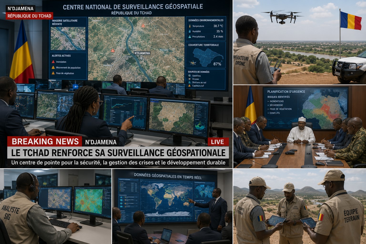
N'DJAMENA — Chad has launched an expanded digital mapping and geospatial monitoring program aimed at strengthening disaster preparedness, improving environmental management, and supporting smarter national planning.
Authorities are deploying advanced satellite imagery, geographic information systems (GIS), drone-based surveys, and digital terrain analysis to improve flood monitoring, drought assessment, infrastructure planning, and emergency response coordination across vulnerable regions.
Disaster management experts say digital mapping is becoming an essential tool for national resilience. More accurate geographic data and real-time environmental monitoring are expected to help authorities respond faster to natural hazards, improve resource allocation, and support long-term development planning.
Government agencies are also working with research institutions and technical specialists to expand geospatial databases, modernize early warning systems, and improve digital planning tools for regional and local administrations.
Development analysts believe stronger geospatial capabilities will enhance infrastructure planning, environmental conservation, and public safety while supporting sustainable economic growth throughout Chad.
As implementation continues, Chad is reinforcing its commitment to technology-driven disaster preparedness, resilient infrastructure planning, and effective emergency management.



Comments (0)
Sign in to join the conversation.